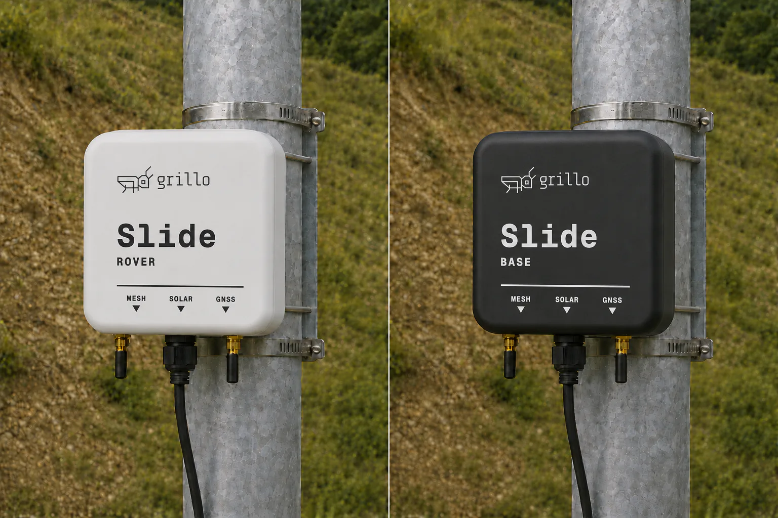
Introducing Grillo Slide
Most of what Grillo has built so far detects sudden movement. An earthquake hits, sensors pick it up, alerts go out. Seconds matter.
But dangerous ground movement isn't always sudden. Slopes can creep for months before they fail. Tailings dams deform. Land subsides over aquifers, around mines, beneath roads. The warning signs are there — millimetres at a time — if you have instruments watching.
Grillo Slide is our first product for this kind of slow displacement monitoring.
Why existing approaches don't scale
Traditional displacement monitoring works two ways. Survey crews visit a site, take precise readings, and leave. You get snapshots, but every reading costs time, people, and site access.
The alternative is permanent GNSS receivers. These give continuous data, but survey-grade receivers are designed for a person to hold during a working day. Leaving one on a slope permanently means adding a solar panel, a charge controller, a weatherproof enclosure, and a mount. One monitoring point can run into tens of thousands of dollars.
Slopes don't move uniformly. To understand what's happening, you need many measurement points. Neither approach makes that affordable.
What Slide does
Slide is built around one idea: install it and leave it there.
Each unit has a solar panel and battery management sized for intermittent measurement. A quad-band RTK GNSS receiver (L1, L2, L5, E6) fixes position at the centimetre level. The extra frequencies help hold a fix under tree canopy and in the multipath terrain where slopes tend to be.
The network uses a base-to-many architecture. One base station sits on stable ground. Rovers go on the slope. They communicate over a direct radio link. Adding a measurement point means adding one rover — not duplicating the entire system.
Each device wakes on schedule, gets a position fix against the base, reports over shared LTE backhaul, and goes back to sleep. No one needs to visit the site to collect data.
Two kinds of output
Operational teams — geotechnical engineers, mine operators, transport authorities — get compact displacement records. Timestamped position, displacement from baseline, fix quality, device health. What you need to make decisions.
Researchers can also capture raw base and rover GNSS observations for post-processing, validation, and method development. Same hardware, both uses.
Early deployments
Oregon State University is using Slide for unattended landslide monitoring on active slopes. The dual output — operational records and raw observations from one deployment — suited both their applied monitoring and their research programme.
Same constraints, different movement
Earthquake early warning and displacement monitoring solve different problems. But the sites that need monitoring are often the same: remote, under-instrumented, and short on infrastructure budget. Slide is designed for those places, the same way Pulse was.

